Posts
WorldDEM in Brief – DTM or DSM ?
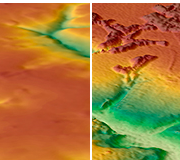
/in DevZone, General, News /by Paul EverettThe WorldDEM Digital Terrain Model (DTM) is now commercially available for all users that need superior terrain information anywhere on the globe. The WorldDEM DTM is derived from the WorldDEM™ Digital Surface Model (DSM) product by removing vegetation and man-made objects to show the bare terrain of the Earth’s surface.
This high-quality WorldDEM DTM provides an excellent foundation layer for applications such as civil engineering (e.g. road design, Earth work calculation), the management of natural resources as well as planning and implementation of military operations (e.g. vehicle trafficability analysis, 3D terrain visualisation).
- Superior terrain information anywhere on Earth
- Can be delivered based on the high-resolution WorldDEM™ for any point on the globe
- Unrivaled accuracy: 5m (relative) / 10m (absolute) vertical accuracy in a 12m x 12m raster
- Easy access and fast delivery
Adventure: Polygonising Massive Geographic areas (with ease)
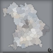
/1 Comment/in DevZone, plugins /by Paul EverettI have been busy lately making tools to better manage large regions,specifically concentrating on the generation of polygons for massive, and large numbers of geographical regions. Read more →
DEM Earth update 2.50 pending
/3 Comments/in DevZone, plugins /by Paul Everettversion 2.50 on the way Read more →
DEM Earth – update 2.40 released
/in DevZone, General, plugins /by Paul EverettVersion 2.40 Nov 19th 2014 Read more →
DEM Earth version 2.2 released
/in DevZone, News /by Paul EverettVersion 2.20 Released
New, faster DEM Server + bug fixes and download performance improvements.
DEM Earth Updated to Version 2.10
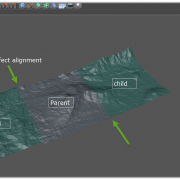
/in DevZone, General, plugins /by Paul EverettIncludes a new feature which makes it much easier to link and align Read more →

