WorldDEM in Brief – DTM or DSM ?
The WorldDEM Digital Terrain Model (DTM) is now commercially available for all users that need superior terrain information anywhere on the globe. The WorldDEM DTM is derived from the WorldDEM™ Digital Surface Model (DSM) product by removing vegetation and man-made objects to show the bare terrain of the Earth’s surface. This high-quality WorldDEM DTM provides […]
DJI telemetry
Lets make an importer for DJI telemetry !
DEM Earth updates – catch 22
Recently I have had some difficult experiences putting out updates. I Spent months on an update, and gave it away for FREE, to all R2 users. there was pretty much no reaction from customers. A very strange feeling. I got 2 emails back, thanking me for this work. So I decided to try something out. Today, I put out another […]
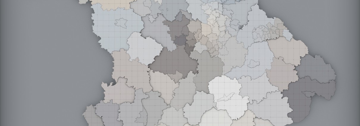
Adventure: Polygonising Massive Geographic areas (with ease)
I have been busy lately making tools to better manage large regions,specifically concentrating on the generation of polygons for massive, and large numbers of geographical regions.


