DEM Earth 2 – Instant city
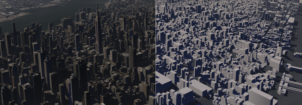
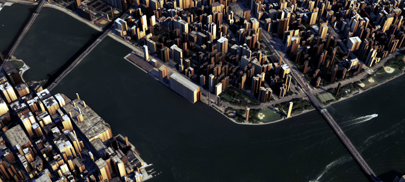
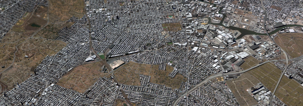
DEM Earth 2 can use real height data from the OpenStreetmap database to extrude buildings to to their correct, real world relative height.
DEM Earth 2 – Pending
No need to wait !
DEM Earth 2 looking HOT
Peter Mitchell has done some fantastic renders using the DEM Earth 2 Beta.
DEM Earth – Updated to Version 1.70
Version 1.70 June 3rd 2014 Changed – Strato and stick to floor settings, are now on, by default. Fixed – A small, but critical error, caused coordinates projected onto DEM Earth, below sea level, to have wrong height. This showed as a field of spiked outlines(Thanks R.Feenstra) Improved – PinPoint Object, Performance. Fixed – PinPoint Object, bugs. […]
DEM Earth 2 – OSM + Smart Extruder
PREVIEW Another image created using DEM Earth 2 and its new Smart Extruder.


