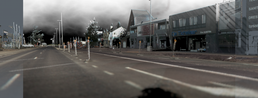
LAZPoint 2

The best Lidar and Point Cloud solution, for Cinema4D.

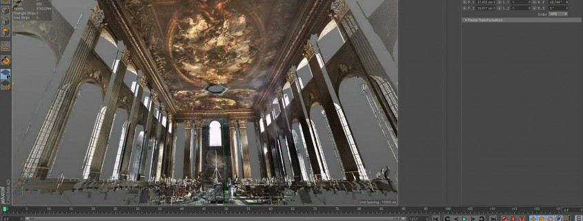
  • New – VLS virtual Laser scanner. Scan any C4D scene, as if you have a real laser scanner.
  • New – LAS and LAZ export.
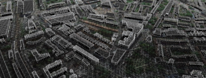
  • New – Improved LAZRender. New 3D points as well as classic 2D points.
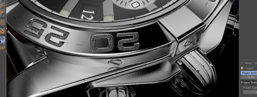
  • New – Many new options to resize and recolor points, as well as quantizing and clipping controls.All in realtime.
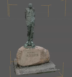
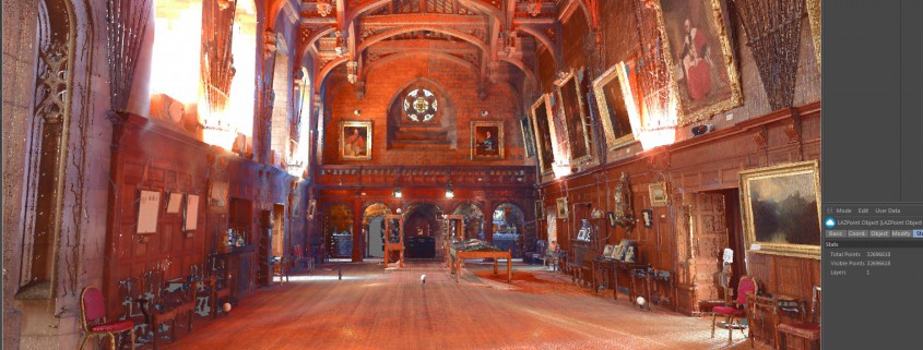
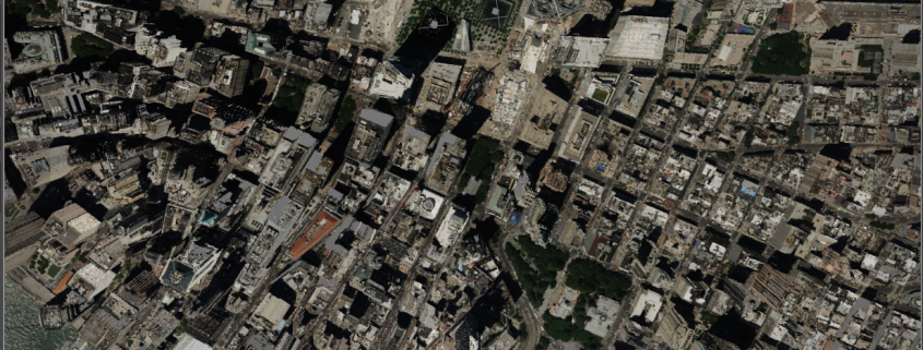
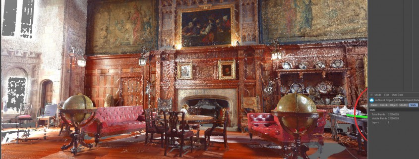
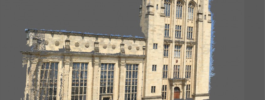
  • Load massive, full color LIDAR data, directly into Cinema4D using LAS,LAZ , XYZ or PTS format, and render it, without any messing around.
  • Unique ease of use, makes this the easiest solution there is, for loading and rendering point clouds. we spent a long time, making this as easy to use and intuitive as possible.
  • Includes the amazing LAZRender engine, for the fastest possible rendering of huge point clouds,  making this the easiest “Load and Render ” LIDAR solution, ever built.
  • Handle hundreds of millions of points, in your editor, in realtime, even on moderate hardware.
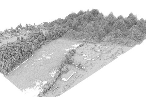
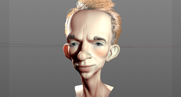
  • Create Point clouds from your scenes, by simply rendering them, and having LAZPoint capture that render for you, and give any scene, the LIDAR Look.
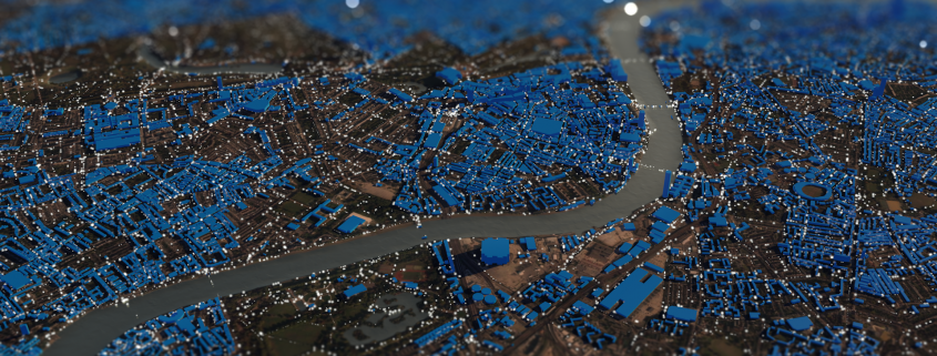
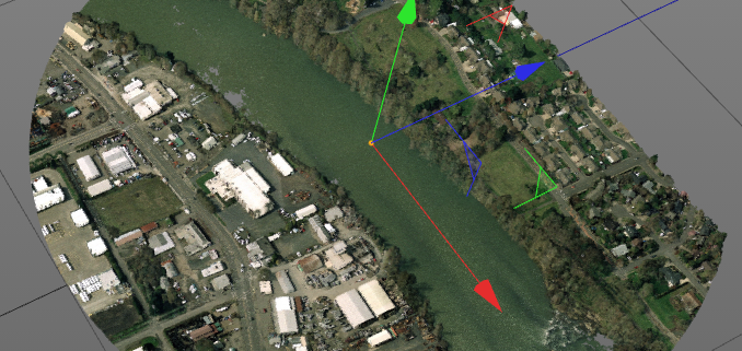
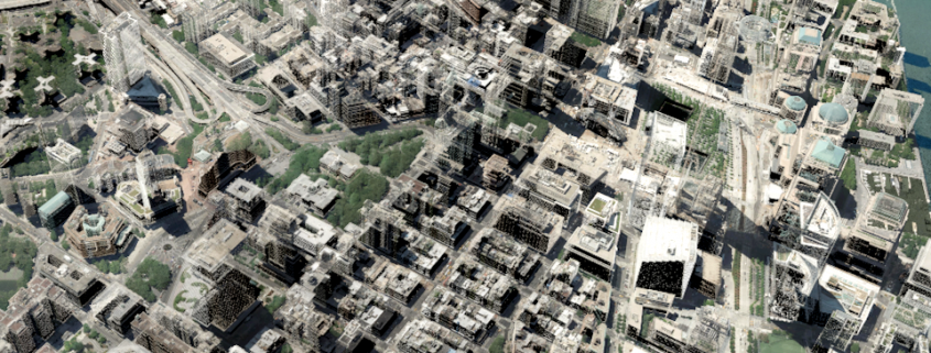
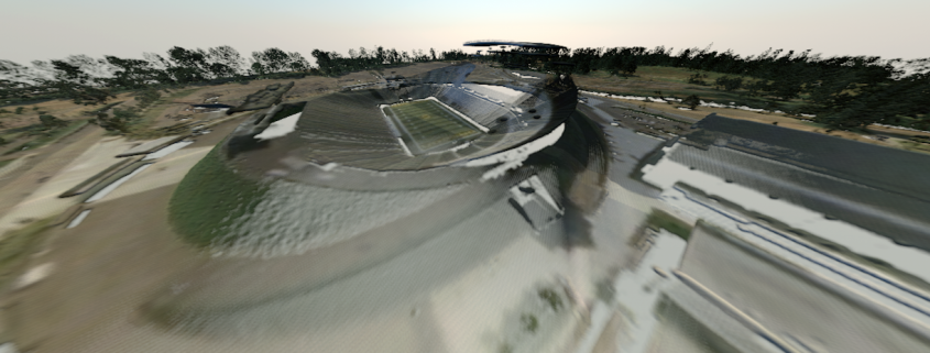
  • Create Point clouds for any place on earth. When combined with DEM Earth, LAZPoint gives you a very special way to make a Point Cloud out of ordinary map and height data.
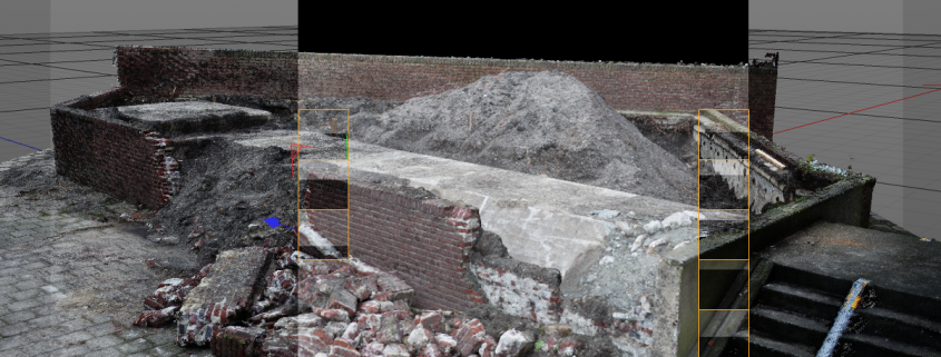
  • Work with color point clouds, exported from programs such as Agisoft Photoscan, or RealityCapture . The First stage of photogrametry, is a point cloud.

License

  • An internet connection is required for registration.

Current Latest version

Compatibility

  • CINEMA 4D  R18, R19, R20, R21  (NOT currently compatible with S22. OpenGL was removed in 22, with no replacement framework available to plugin developers)
  • Studio, Visualize, Broadcast and Prime, Student.
  • C4dLite (Cineware) is NOT supported..
  • 64 bit only.
  • Windows only

Requirements